I would be interested in hearing from any force out there that is currently using an interactive map and video footage to help promote road black spots in relation to road safety. I would also like to hear from the community as to whether the proposal below is something that would interest people.
I have been thinking about doing this for a while but thought that this might be something that we could create on a national level if not already available so that all forces can add information.
In many areas of the UK road safety is a priority for the police with road related deaths being an issue. The thought is to have an interactive map, using one of the freely available ones such as Google, where members of the public can enter postcodes, town names etc and see if there are any officially recognised black spots in their selected area.

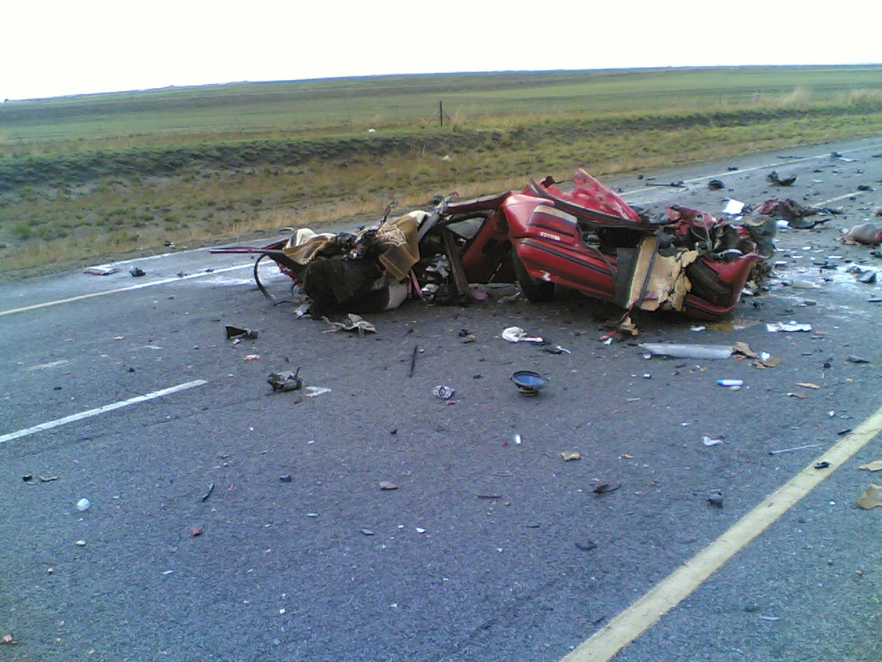
Picture above is for illustrative purposes only.
The goal then is to have the local force record via head cams or car/bike cams the drive through the black spot area. Once this has been recorded I would see a voice over from an experienced traffic officer explaining what the issue is that causes people problems, ie there is a hidden farm drive, blind dip in the road etc.
The aim is that through promotion of this service through all channels available we can get motorists to check these videos in the area they live/travel so that they are made aware of the issue before they travel through the black spot.
Hopefully this may reduce the number of incidents/deaths on our roads. I would see us teaming up with organisations such as BikeSafe, AA, RAC etc....
What a good idea. I would add that to start the ball rolling, we should concentrate on releasing the basic data required. That would seem to include road name, number, location, long/lat coordinates, description and accident stats. Agreeing a schema for such data is something the NPWMG has experience in as we have been through a similar process when developing the National Crime Maps. With the data standardised in a schema and XML/.CSV data feed, perhaps others from outside the police service could finish the job and create the mashup with Google Maps?
ReplyDelete